| Region : | Strathclyde |
|
|
| Island : | Arran | ||
| Town or village : | Blackwaterfoot | ||
| Grid Reference : | NR 900 326 | ||
| Period : | 3rd-2nd millennium BC | ||
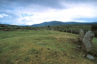
(Machrie Moor X)
KERBED CAIRN (STONE CIRCLE)
 |
|
It was enclosed in a perfect circle of sandstone slabs (only five of them remain). The circle was surrounded by a bank of small granite stones. Within the kerb was the cairn of heavy boulders, capped with small angular pieces of red sandstone.
The site is similar to the kerbed cairn (stone circle) of Auchagallon, about 2km to the north.
The site was partially excavated by Aubrey Burl in 1979.
In care of Historic Scotland